
Exploring the Applications and Advancements of Lidar in the Drone Industry
with Maude Pelletier, Founder, and President of Balko Technologies
In this article, we speak with Maude Pelletier, founder, and president of Balko Technologies, about the rapidly growing drone-mounted Light Detection and Ranging (LiDAR) industry. With her deep understanding of the technology and years of experience in the field, Maude shares valuable insights on the industry's current state, the importance of LiDAR data accuracy, and the potential for LiDAR to transform various industries. If you are interested in the drone LiDAR industry, this article provides valuable insights from an industry expert.
How do you see drone LiDAR technology evolving, and what new capabilities or features do you anticipate seeing in the next few years?
Being a relatively new technology, UAV LiDAR surveying has an exciting and bright future. As innovation continues in drone technology's mechanics, electronics, and optics, equipment will become lighter and offer improved performance. This, combined with changing flight regulations towards BVLOS, LiDAR surveying will extend its limits and become a competitive airborne data acquisition solution. BVLOS operations are a unique opportunity to acquire geospatial data in remote locations at a fraction of the cost of the current airplane or helicopter survey teams. This will significantly increase smaller-sized companies' autonomy when contributing to today's infrastructure projects.
As for the LiDAR systems themselves, they will get more powerful, more precise, and more accurate. The drone LiDAR technology will replace terrestrial LiDAR technologies in multiple sectors of activity, being a more accurate and cost-effective operational data collection solution.
How do drone LiDAR systems compare to other types of LiDAR technology used in surveying and mapping applications?
Terrestrial LiDAR
With terrestrial LiDAR surveys, surveyors need to install geodetic landmarks to position their LiDAR systems and then place targets that are commonly seen by each data capture to be able to merge them into a single point cloud. This LiDAR technology takes a lot of time to install. There are more efficient methods for a large site survey. Another critical point is that roofs or church steeples will be missed in the point cloud.
Terrestrial Lidar Limitations
- Takes a long time to install
- Not efficient for large site surveys
Mobile LiDAR
With mobile LiDAR surveys, more precisely, a LiDAR installed on a car, only roads, adjacent ditches, buildings, and surrounding can be captured. Nothing beyond these physical and structural elements is captured.
Mobile Lidar Limitations
Because mobile lidar is used on a car, it can only capture the physical & Structural elements around it; anything beyond those elements cannot be captured.
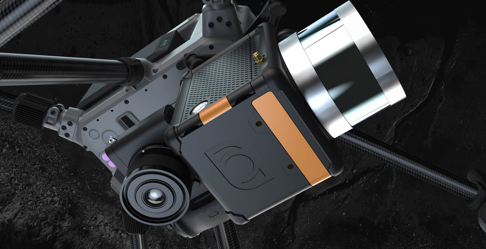
Drone LiDAR
Installing a LiDAR on a drone requires a minimal workforce to run a project since only one Pilot is required. Access to hybrid drones and BVLOS SFOC allows larger areas to be surveyed. Drones also enable mapping surrounding corridors such as roads, roofs, and higher physical structures unreachable with other technologies. Most interestingly, data can be collected 10 times faster than other terrestrial scan lasers.
Benefits of LiDAR on Drone
- Lower Labor Costs because one Pilot is needed
- Data Collected 10X Faster than Terrestrial LiDAR
- Ability to map beyond elements that cannot be captured through mobile LiDAR
- Larger Geographic Areas Can be surveyed
What are some of the most innovative uses of drone LiDAR technology that you've seen or heard of, and how do they benefit different industries and stakeholders?
Public Institutions
In public institutions, such as municipalities, LiDAR technology is now used to create the digital twin of towns or cities. LiDAR on a drone allows the capture of all facets of buildings, roads, roofs, and vegetation covers rapidly and accurately, and precisely, becoming the top solution to create Digital Twins.
Archeology
In archelogy, we can collect a dense point cloud at a precise level, allowing us to detect tiny artifacts of ancient civilizations through thick vegetation covers.
Mining
In mines, LiDAR can precisely monitor ground settlements. When triangulated, a LiDAR system can detect a decrease in elevation values, allowing for quick intervention, thereby preventing a potential risk of collapse.
By changing the LiDAR impulsions' wavelength from red to green, the LiDAR can penetrate a few meters below the water surface. This allows for terrestrial, shore, and bathymetric surveys using one UAV LiDAR system.
What are some of the most common applications of drone LiDAR technology today, and how are they benefiting various industries?
LiDAR technology has become increasingly popular in drone applications due to its ability to accurately and efficiently capture 3D data of the environment. Some of the most common applications of drone LiDAR technology today are:
Surveying and Mapping: Drone LiDAR technology can survey and map large areas quickly and accurately. This is particularly useful in construction, mining, and agriculture industries, where accurate terrain, topography, and infrastructure mapping is essential for planning and decision-making.
Inspection and Monitoring: Drones with LiDAR sensors can inspect and monitor infrastructure such as power lines, pipelines, and bridges. This technology allows for detailed 3D mapping of these structures, enabling inspectors to identify potential issues and plan maintenance and repairs more effectively.
Environmental Monitoring: LiDAR technology is also helpful for environmental monitoring, such as assessing vegetation health, tracking wildlife populations, and monitoring land use changes. This data can be used to inform conservation and land management officials.
About the Expert
Maude Pelletier
Founder and President of Balko Technologies
Drone Industry Newsletter
Our newsletter provides valuable insights, news, and updates on drone regulations, technology advancements, and business developments in the industry.
Apply Now for Drone Financing & Leasing
Financing and Leasing Options for all the UAV Equipment your business needs
One Application to bundle together multiple vendors
- UAV Hardware
- UAV Software
- Include soft costs such as training, shipping and maintenance agreements
Drone LiDAR Sensor Financing and Leasing
Drone LiDAR Sensor Financing and Leasing A Light Detection and Ranging (or LiDAR) sensor emits light energy to scan the…
Transforming Agriculture: The Benefits of Using Drones in Livestock Management Technology integration into agriculture has given rise to new methods…
Harnessing Customer-Driven Innovation: A Comprehensive Guide for Commercial Drone Dealers Innovation has always been the driving force behind successful businesses.…
Introduction In a rapidly evolving industry like that of drones, staying ahead of the competition means being at the forefront…
Construction Drone Applications Drones started as a weapon for the military. Slowly, they found their way into civilian life and…
Excavation contractors can implement drone technology in several ways to improve their operations and increase efficiency. Some of the ways…
You pick the Commercial Drone Equipment you need and we help you finance it. Contact BNC for Commercial Drone Equipment…
- « Previous
- 1
- 2
- 3
- Next »