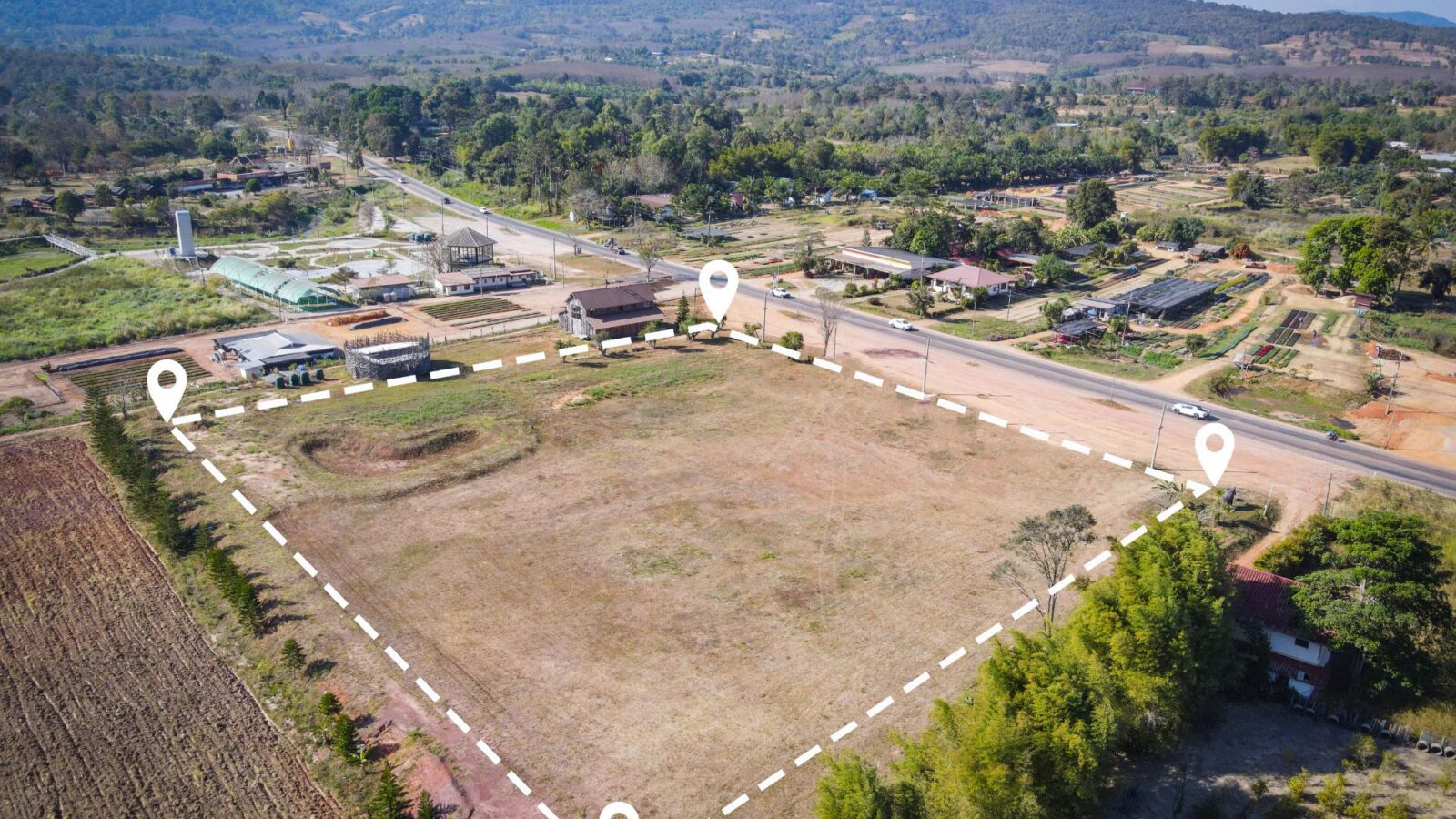
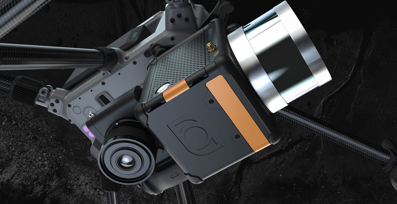
The field of land surveying has experienced significant transformation in recent years, courtesy of rapid technological advancements. Drone Light Detection…
Two prominent technologies have emerged as leaders in aerial mapping and topographic surveying: Photogrammetry and Light Detection and Ranging (LiDAR).…
Exploring the Applications and Advancements of Lidar in the Drone Industry with Maude Pelletier, Founder, and President of Balko Technologies…


