
The field of land surveying has experienced significant transformation in recent years, courtesy of rapid technological advancements. Drone Light Detection…
The field of land surveying has experienced significant transformation in recent years, courtesy of rapid technological advancements. Drone Light Detection…
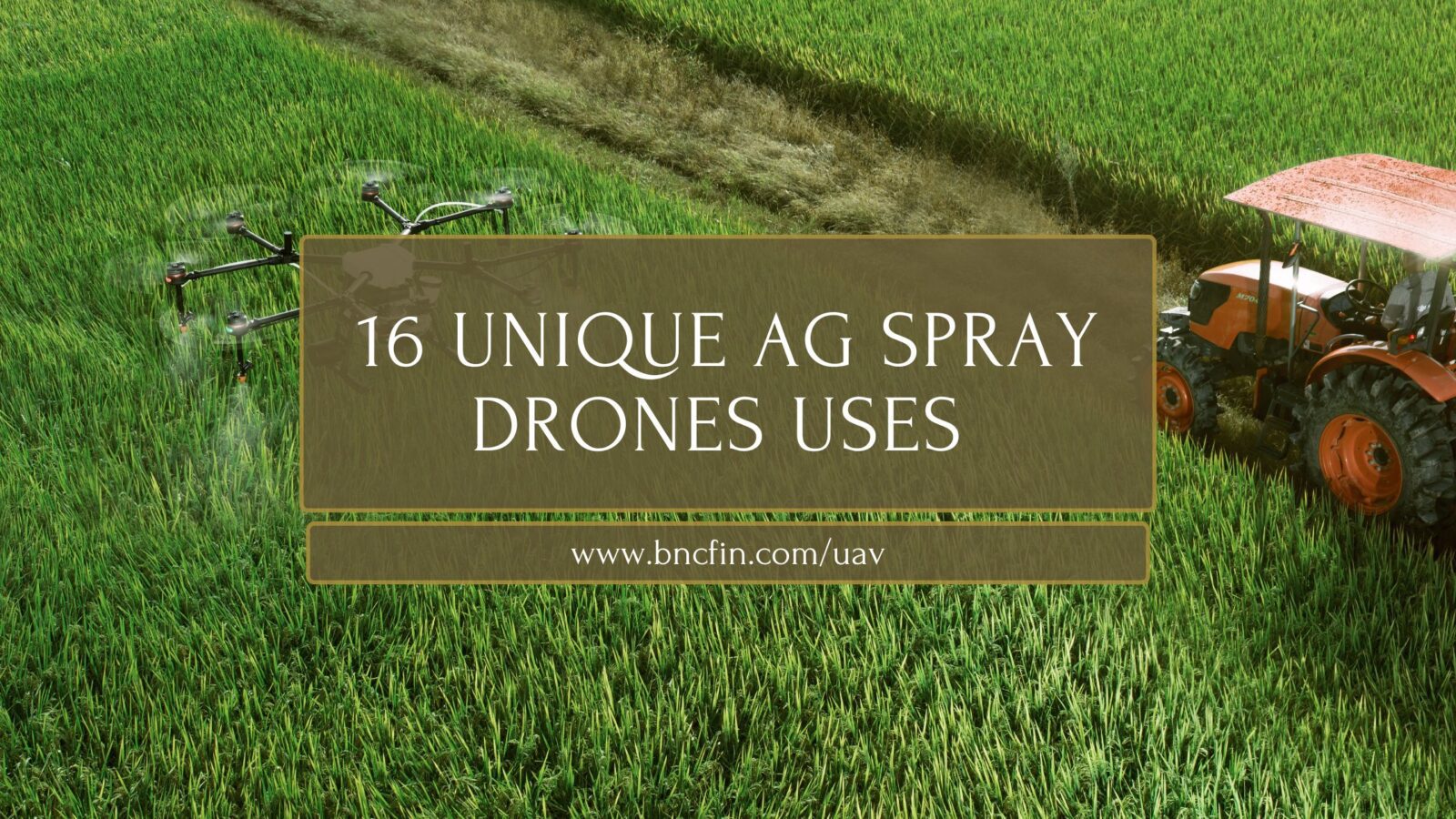
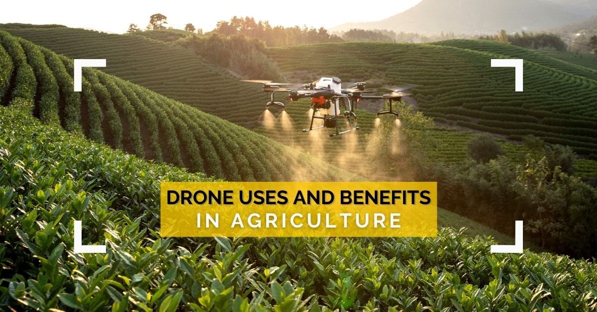
16 Unique Agricultural Spray Drone uses Revolutionizing Modern Farming In recent years, agricultural spray drones have rapidly transformed the landscape…
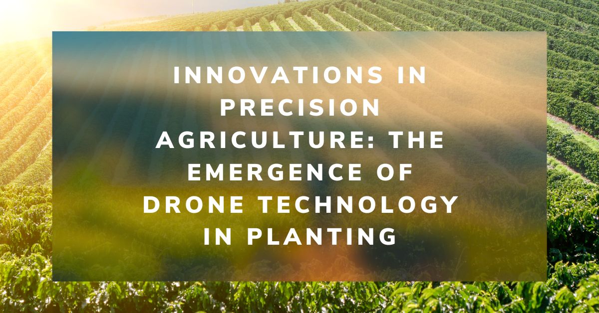
The agricultural sector is poised for a technological revolution, with drone innovations marking a pivotal shift in farming methodologies. Specifically,…
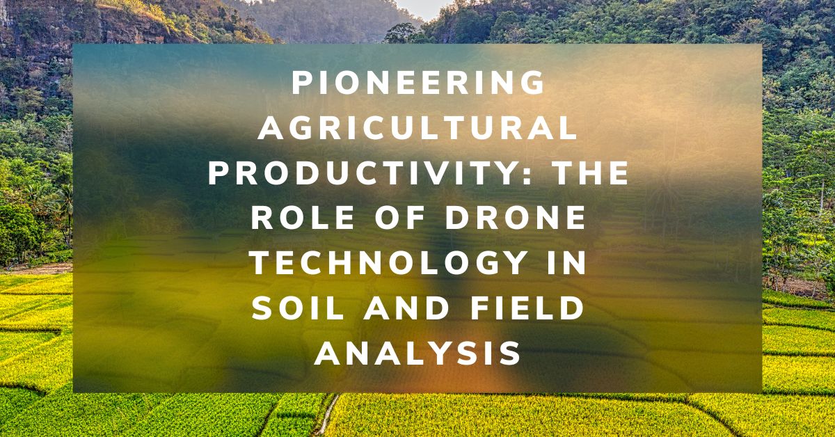
Soil vitality cannot be overstated in the quest for agricultural excellence. As the foundation of farming, soil health directly influences…
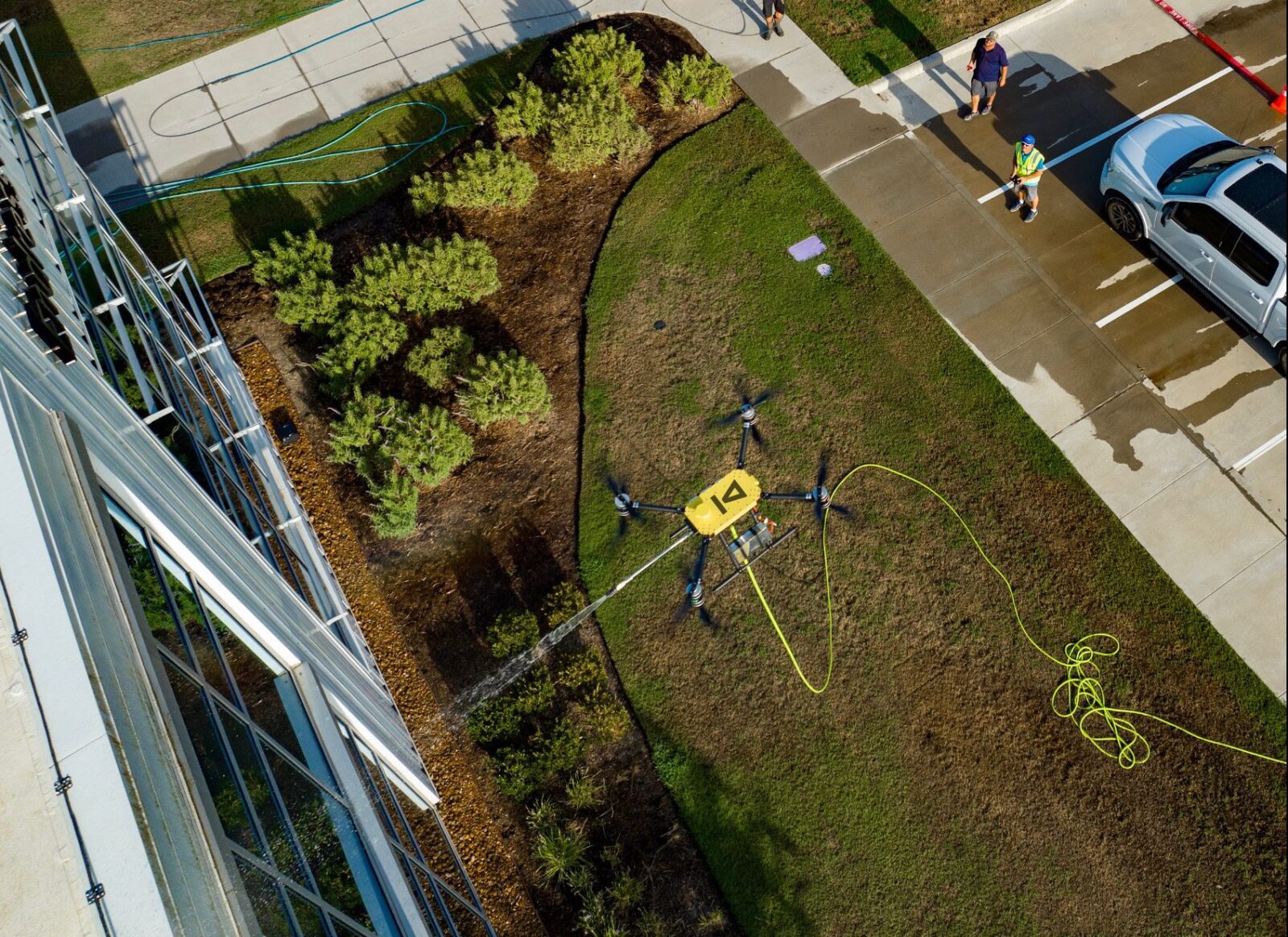
Revolutionizing Maintenance: The Future of Power Washing Drones. with Robert Dahlstrom, CEO of Apellix Drones In an engaging interview, Robert…
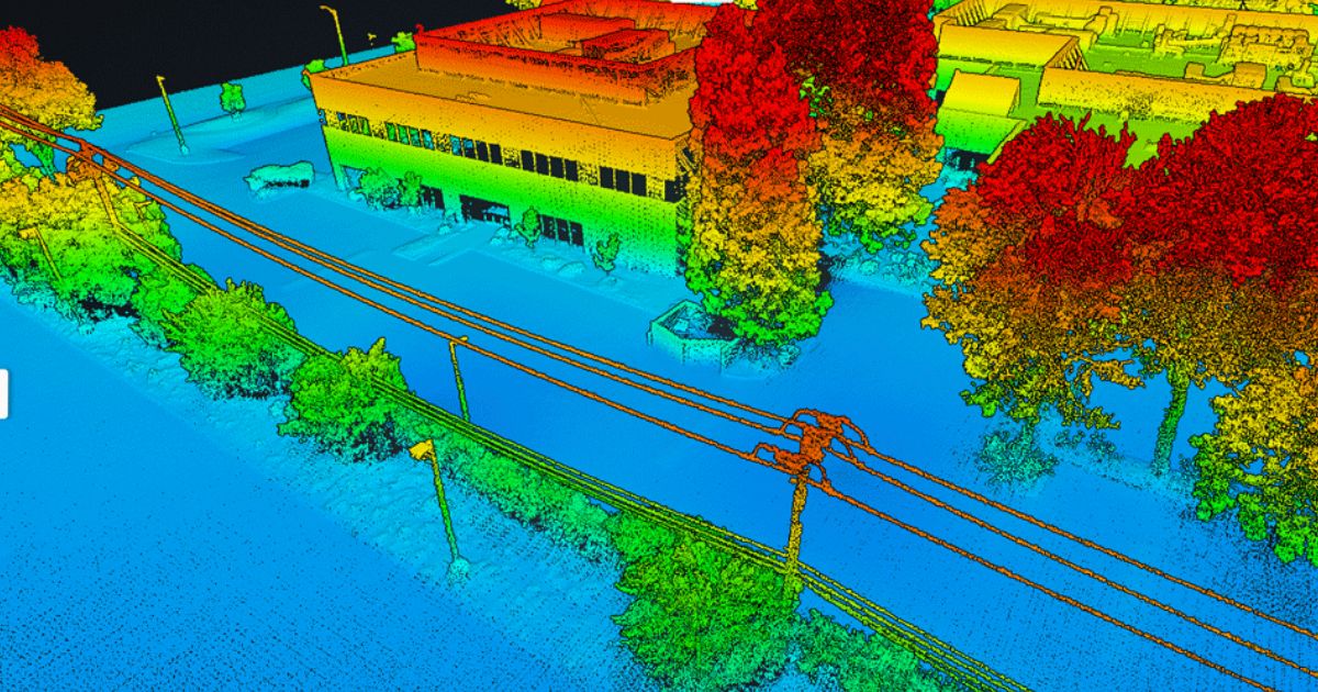
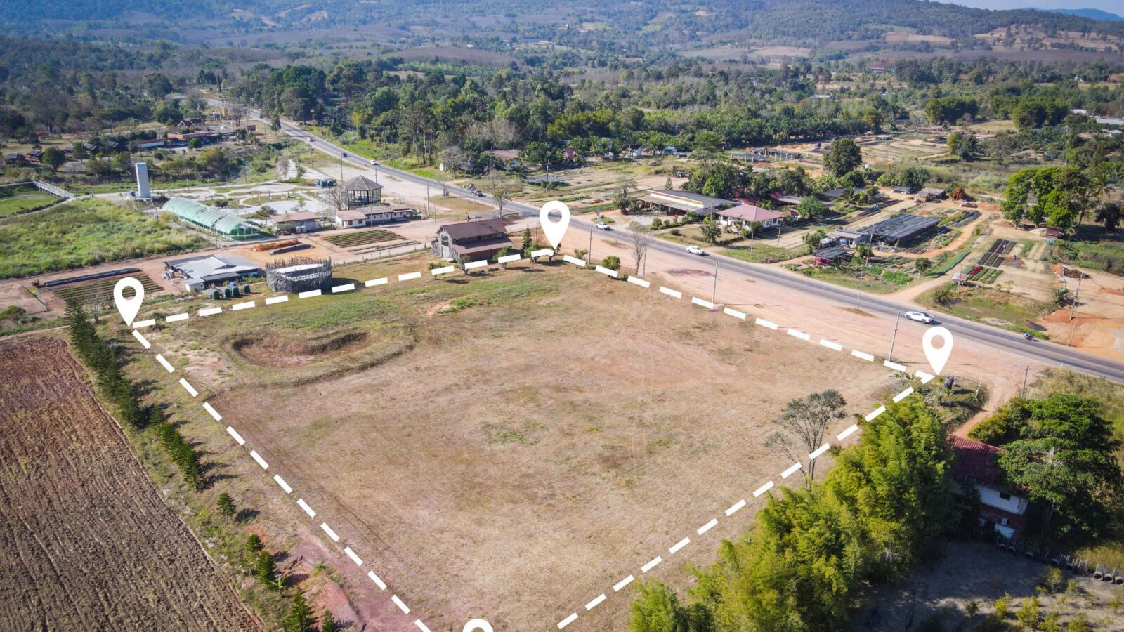
Harnessing the Power of Drone LiDAR for Land Surveying: Insights with Harrison Knoll with Harrison Knoll, CEO of Rock Robotic…
Two prominent technologies have emerged as leaders in aerial mapping and topographic surveying: Photogrammetry and Light Detection and Ranging (LiDAR).…
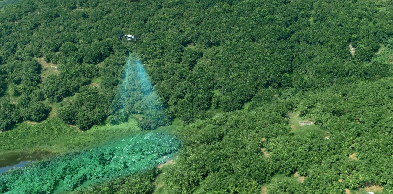
The Rise of Agricultural Drones: An Expert’s Perspective with Mehdi Shahbazi, President of Talos Drones In recent years, drone technology…
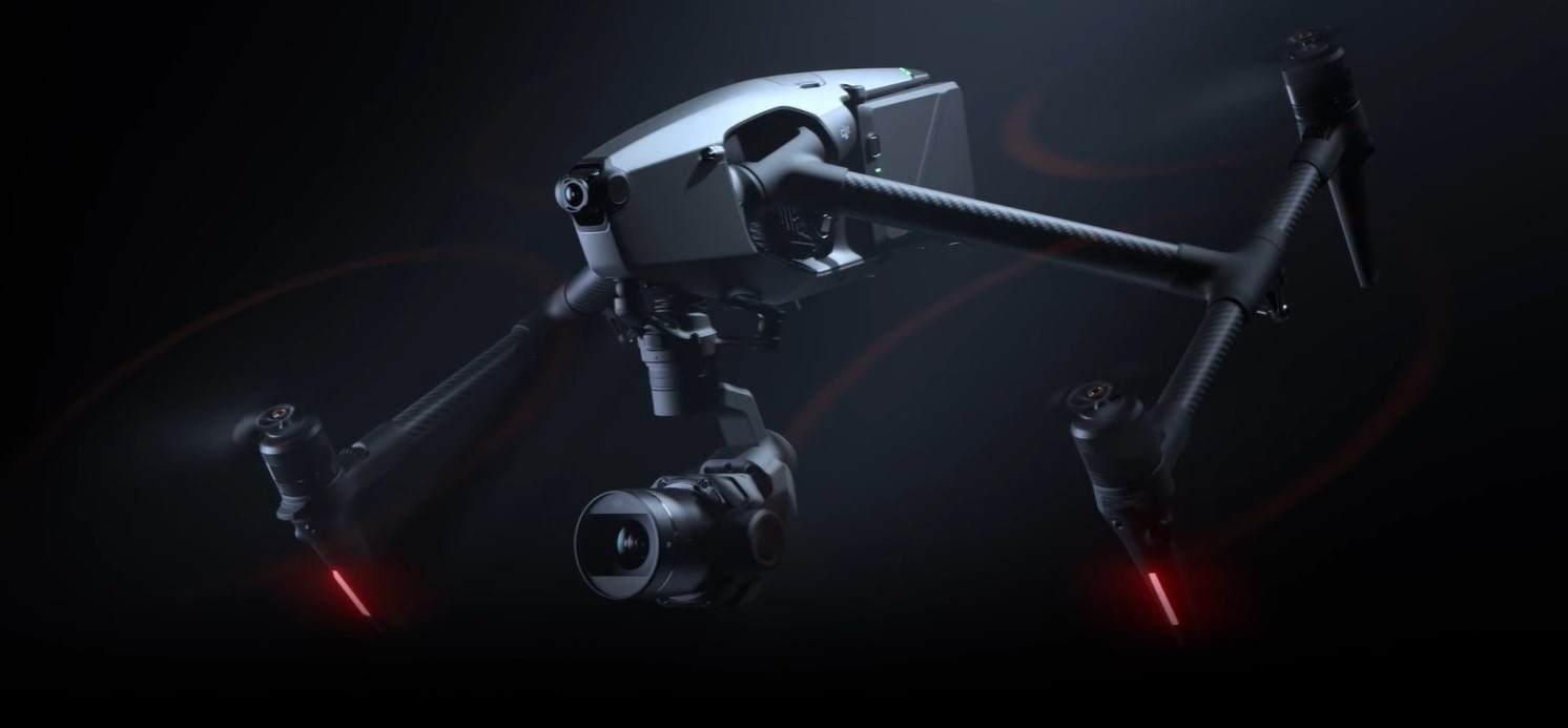
The DJI Inspire 3 is a powerful, versatile drone for professional videographers and photographers. Equipped with advanced features like a…
Technological advancements are bringing a revolution in every field of life, and agriculture is also a field that has been dramatically…