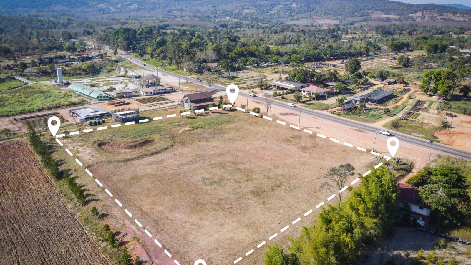
Two prominent technologies have emerged as leaders in aerial mapping and topographic surveying: Photogrammetry and Light Detection and Ranging (LiDAR). Both methods have been integrated with drone technology to leverage their capabilities. However, while each has its merits, Drone LiDAR has shown superior aspects over photogrammetry in several key areas. Here’s why:
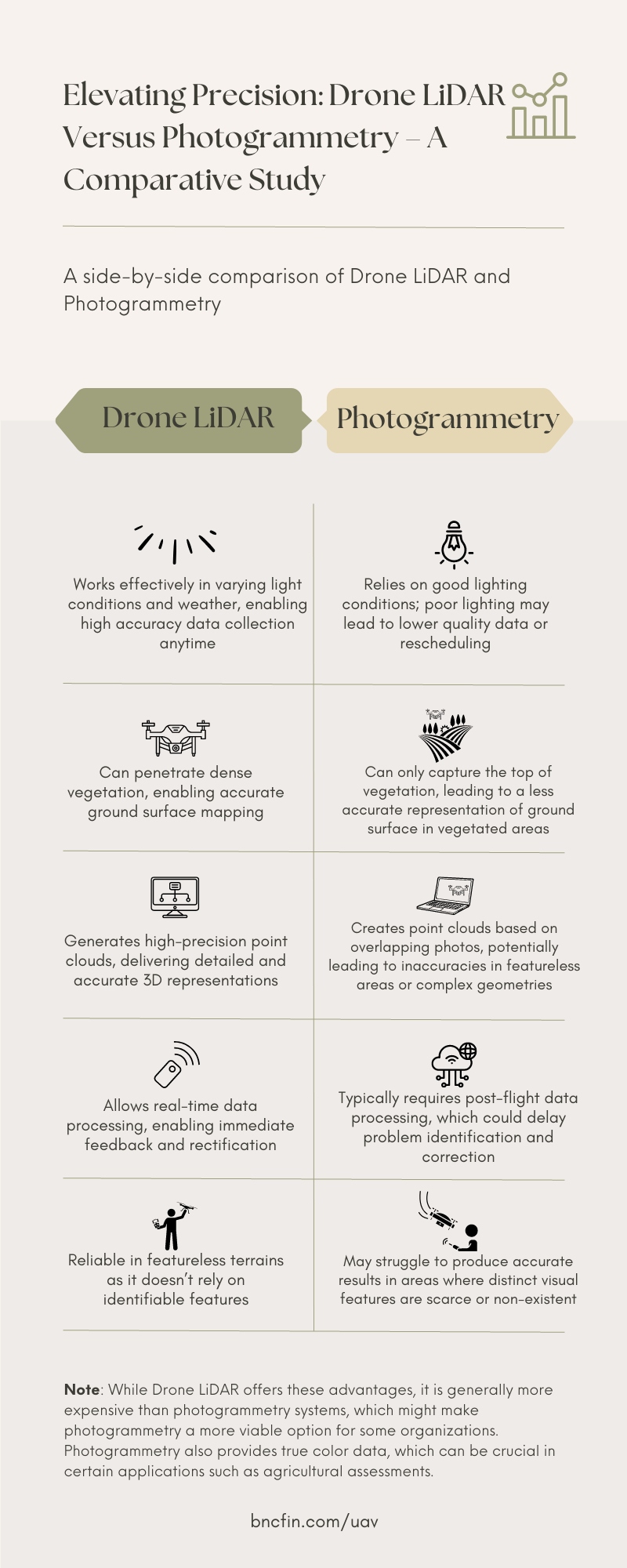
Key Areas of Comparison
Independent of Light Conditions
LiDAR uses lasers to measure distances, making it immune to variations in light conditions. It can generate highly accurate data, irrespective of the time of day or weather conditions. Conversely, photogrammetry relies on visible light and depends on good lighting conditions. Poor lighting can lead to inferior data quality or the necessity to reschedule flights, potentially delaying projects.
Penetrating Vegetation
One of the most distinct advantages of LiDAR over photogrammetry is its ability to penetrate dense vegetation. LiDAR emits pulses of light that can reach the ground level, even through a thick canopy, enabling the accurate mapping of the ground surface. Photogrammetry, on the other hand, can only capture the top of the vegetation cover, providing a less accurate representation of the ground surface in vegetated areas.
Data Precision and Quality
LiDAR’s direct measurement technique generates high-precision point clouds, resulting in a more detailed and accurate 3D representation of the surveyed area. On the other hand, photogrammetry creates a point cloud based on multiple overlapping photos, which may lead to inaccuracies in areas with no distinguishable features or complex geometries.
Real-time Data Processing
Drone LiDAR systems often come with onboard processors allowing real-time data processing. This feature provides immediate feedback during flight missions, enabling prompt detection and rectification of any issues. In contrast, photogrammetry typically requires post-processing after the flight, which could delay the identification of data collection issues.
Fewer Limitations
Photogrammetry requires overlapping images to reconstruct a 3D model accurately. Therefore, it works best in areas with distinct visual features. Photogrammetry may struggle to produce accurate results in areas where such features are scarce or non-existent. LiDAR, however, relies on laser pulses and not on identifiable features, making it more reliable in featureless terrains like sand or snow.
Despite these advantages, it’s worth noting that Drone LiDAR systems are generally more expensive than photogrammetry systems, which might make photogrammetry a more viable option for some organizations. Also, photogrammetry provides true color data that can be helpful in certain applications, such as agricultural assessments, where color data might be crucial.
Infographic: Side by Side Comparison
While both Drone LiDAR and photogrammetry offer valuable benefits for aerial surveying and mapping, LiDAR’s advantages, such as its light independence, ability to penetrate vegetation, higher data precision, and real-time data processing, make it a superior choice in many situations. However, the choice between the two should be determined by each project’s specific requirements and constraints. Understanding the strengths and weaknesses of each method can help organizations make the most informed and beneficial choices for their particular needs.