
The field of land surveying has experienced significant transformation in recent years, courtesy of rapid technological advancements. Drone Light Detection and Ranging (LiDAR) represents a pivotal innovation revolutionizing land surveying practices. It's time for land surveying companies to embrace this evolution, and here's why:
Table of contents
Why Land Surveying Companies Should be Using Drone LiDAR
Enhanced Efficiency and Precision
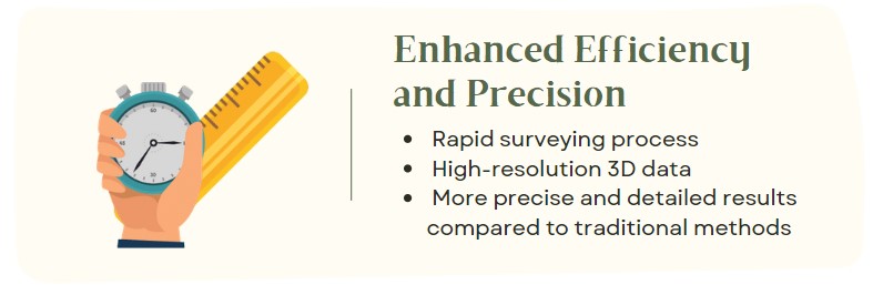
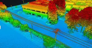
Traditional land surveying methods are time-consuming, labor-intensive, and often less precise. Drone LiDAR, on the other hand, can survey vast tracts of land quickly, delivering high-resolution 3D data. It can map millions of data points in a single flight, resulting in precision and detail far surpassing conventional surveying techniques.
Improved Safety

Land surveying often involves venturing into inaccessible or hazardous terrains. With drone LiDAR technology, the need for surveyors to physically navigate such areas is eliminated. This technology allows the collection of accurate data from a safe distance, thus ensuring the safety of surveying personnel and reducing the risk of accidents and injuries.
Cost-Effectiveness

While the initial investment in drone LiDAR technology might seem steep, the long-term cost savings are substantial. The efficiency and speed of drone LiDAR reduce labor costs and expedite project timelines, allowing more surveys to be carried out within the same timeframe. Furthermore, the safety benefits of drone LiDAR technology can save companies the potential costs associated with workplace accidents.
Versatility and Comprehensive Data Collection

Drone LiDAR systems are versatile tools that can survey various types of terrain, from flat plains to complex mountainous landscapes, forests, and even urban environments. They can operate effectively in various weather conditions, making them an invaluable tool for surveying projects. Moreover, drone LiDAR can penetrate dense vegetation to provide a clear picture of the underlying terrain. This feature is often lacking in traditional surveying methods.
Seamless Integration with Modern Data Processing Software

The data collected by drone LiDAR systems can be easily integrated with modern data processing and visualization software. This integration allows for real-time data analysis and visualization, enhancing decision-making processes and allowing for timely adjustments if necessary.
Reduced Environmental Impact

Drone LiDAR technology offers an environmentally friendly alternative to traditional surveying methods. By reducing the need for ground vehicles and physical exploration of sensitive ecological areas, drone LiDAR reduces emissions. It minimizes the disturbance to the natural environment.
Infographic
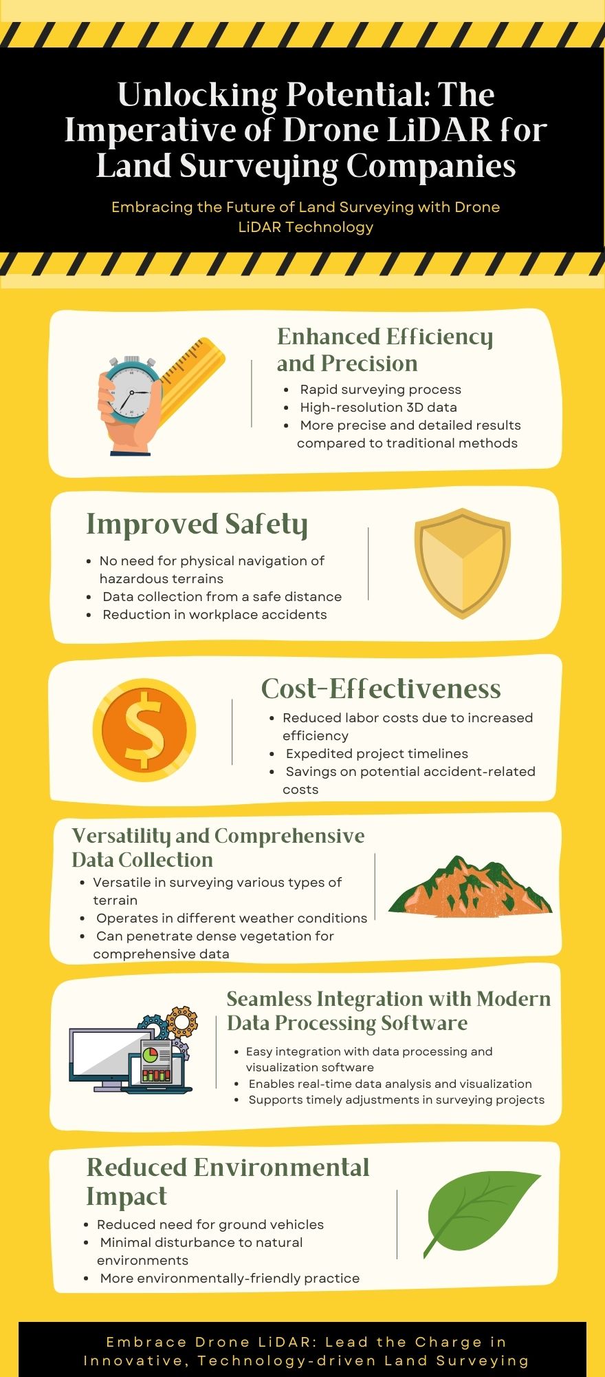
Incorporating drone LiDAR technology in land surveying operations offers significant advantages in efficiency, safety, cost-effectiveness, versatility, data integration, and environmental impact. By embracing this technology, land surveying companies can remain at the forefront of industry advancements, provide superior service to their clients, and contribute to environmentally sustainable practices. It's more than just keeping up with the times—it's about leading the charge in the innovative, technology-driven future of land surveying.

Maximizing Tax Savings: Section 179 for Drone Service Providers
Understanding Section 179 for Drone Service Providers As a drone service provider, staying ahead in a competitive market often requires…

Unlocking Potential: The Imperative of Drone LiDAR for Land Surveying Companies
The field of land surveying has experienced significant transformation in recent years, courtesy of rapid technological advancements. Drone Light Detection…
16 Unique Agricultural Spray Drones Uses Revolutionizing Modern Farming
16 Unique Agricultural Spray Drone uses Revolutionizing Modern Farming In recent years, agricultural spray drones have rapidly transformed the landscape…
Innovations in Precision Agriculture: The Emergence of Drone Technology in Planting
The agricultural sector is poised for a technological revolution, with drone innovations marking a pivotal shift in farming methodologies. Specifically,…
The Role of Drones in Precision Agriculture: Elevating Farming Efficiency to New Heights
Precision agriculture marks a paradigm shift in how farming approaches, moving from traditional, broad-scale strategies to highly efficient, data-driven methodologies.…

11 Ways Drones are Revolutionizing Agriculture
The incorporation of drone technology into the agricultural sector represents a significant transformation in farming methodologies, encompassing crop cultivation, monitoring,…
Revolutionizing Maintenance: The Future of Power Washing Drones
Revolutionizing Maintenance: The Future of Power Washing Drones. with Robert Dahlstrom, CEO of Apellix Drones In an engaging interview, Robert…
Harnessing the Power of Drone LiDAR for Land Surveying
Harnessing the Power of Drone LiDAR for Land Surveying: Insights with Harrison Knoll with Harrison Knoll, CEO of Rock Robotic…
Elevating Precision: Drone LiDAR Versus Photogrammetry – A Comparative Study
Two prominent technologies have emerged as leaders in aerial mapping and topographic surveying: Photogrammetry and Light Detection and Ranging (LiDAR).…

Navigating FAA Changes: A Chat with Bryan Sanders on Agricultural Spray Drones Regulations
Part 137 Changes Impacting Agricultural Spray Drones with Bryan Sanders, President of (HSE) UAV, In an industry impacted by dynamic…