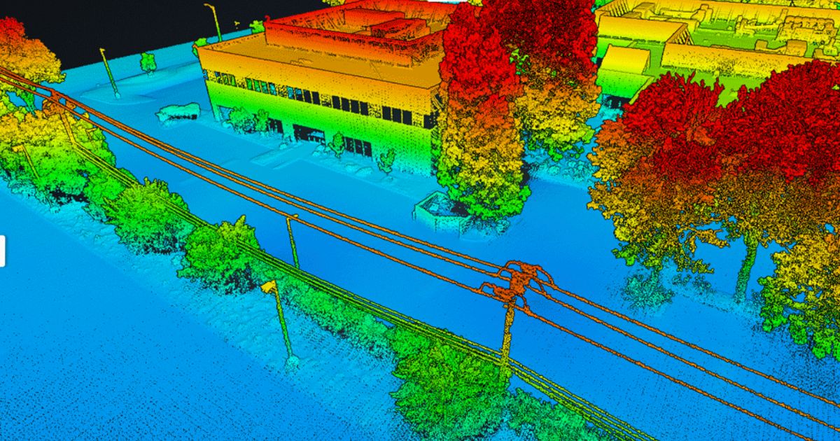
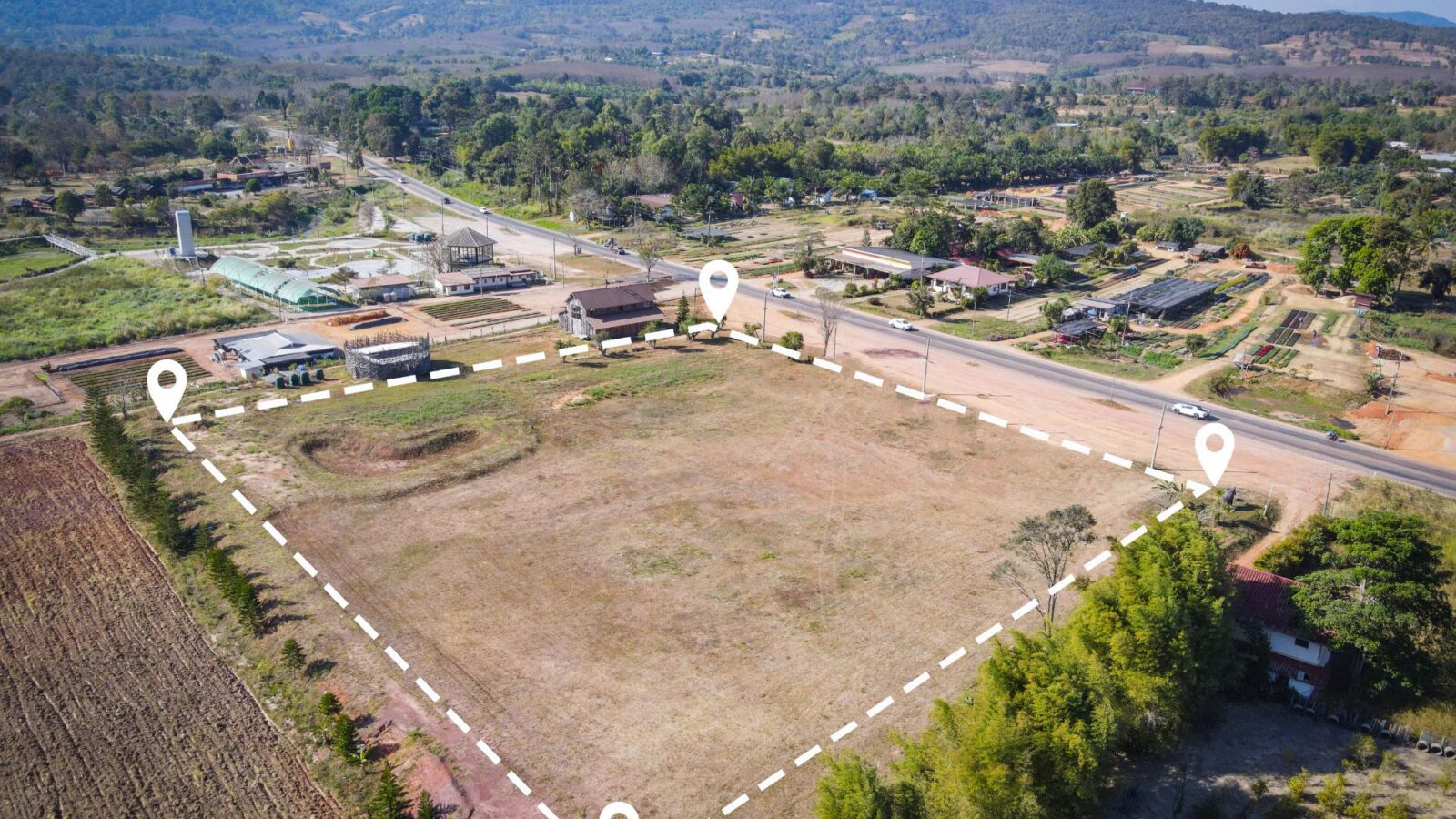
The field of land surveying has experienced significant transformation in recent years, courtesy of rapid technological advancements. Drone Light Detection…
Harnessing the Power of Drone LiDAR for Land Surveying: Insights with Harrison Knoll with Harrison Knoll, CEO of Rock Robotic…
Two prominent technologies have emerged as leaders in aerial mapping and topographic surveying: Photogrammetry and Light Detection and Ranging (LiDAR).…


