Survey Drone Financing & Leasing
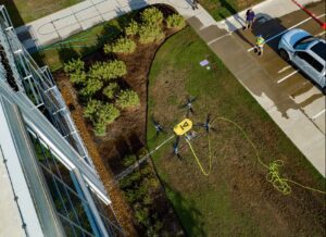
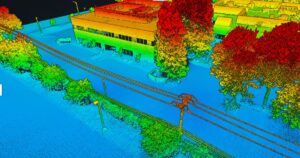
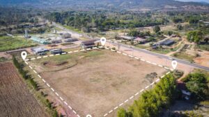
Drones have revolutionized the survey process, making it easy to fully assess and document large pieces of land through the use of unmanned, aerial machinery. Surveying drones can fly over land and capture important aerial data via scanners and multispectral cameras, providing richly detailed and accurate reports with a minimal requirement of time and manpower.
As such, surveying drones can significantly increase the efficiency of construction teams. The biggest obstacle to this technology is often the price point, but BNC Finance provides flexible financing and leasing options.
Survey UAV Software & Hardware Financing Services
Our survey drone financing services allow your company to purchase survey drones without the need for a large upfront investment, letting you to conserve your capital for other current or future expenses. We’re here to make survey drone financing as affordable and accessible as possible, which means flexible monthly payments made over a convenient term length.
We’re also pleased to provide survey drone leasing, allowing you to use survey drone equipment on a more limited basis. When your lease term ends, you can choose to extend it, discontinue it, or even upgrade to a more advanced type of survey drone technology.
Note that, whether you choose to finance or lease, you may qualify to deduct the cost of your survey drones under Tax Code 179.
Finance or Lease a Surveying Drone
Apply Now for Survey Drone Financing or Leasing
Quick Easy Online Application, get pre-approved for the Surveying drone financing you need.
At BNC Finance, it’s our pleasure to provide convenient and affordable options for businesses as they seek to make a wise investment in equipment or technology. With any questions about survey drone leasing or survey drone financing, contact us at your convenience.
Drone Specific Financing Programs
- Startup Business Commercial Drone Financing & Leasing
- Engineering Drone Financing and Leasing
- Roofing Drone Financing and Leasing
- Drone LiDAR Sensor Financing and Leasing
- Inspection Drone Financing and Leasing
- Agriculture Drone Financing
- Survey Drone Financing
- Construction Drone Financing
- Real Estate Photography and Videography Drone Financing
- Drone (UAV) Vendor Financing
- Drone Leasing for Municipalities
Maximizing Tax Savings: Section 179 for Drone Service Providers
Understanding Section 179 for Drone Service Providers As a drone service provider, staying ahead in a competitive market often requires…
16 Unique Agricultural Spray Drones Uses Revolutionizing Modern Farming
16 Unique Agricultural Spray Drone uses Revolutionizing Modern Farming In recent years, agricultural spray drones have rapidly transformed the landscape…
Innovations in Precision Agriculture: The Emergence of Drone Technology in Planting
The agricultural sector is poised for a technological revolution, with drone innovations marking a pivotal shift in farming methodologies. Specifically,…
The Role of Drones in Precision Agriculture: Elevating Farming Efficiency to New Heights
Precision agriculture marks a paradigm shift in how farming approaches, moving from traditional, broad-scale strategies to highly efficient, data-driven methodologies.…
11 Ways Drones are Revolutionizing Agriculture
The incorporation of drone technology into the agricultural sector represents a significant transformation in farming methodologies, encompassing crop cultivation, monitoring,…
Revolutionizing Maintenance: The Future of Power Washing Drones
Revolutionizing Maintenance: The Future of Power Washing Drones. with Robert Dahlstrom, CEO of Apellix Drones In an engaging interview, Robert…
Harnessing the Power of Drone LiDAR for Land Surveying
Harnessing the Power of Drone LiDAR for Land Surveying: Insights with Harrison Knoll with Harrison Knoll, CEO of Rock Robotic…
Navigating FAA Changes: A Chat with Bryan Sanders on Agricultural Spray Drones Regulations
Part 137 Changes Impacting Agricultural Spray Drones with Bryan Sanders, President of (HSE) UAV, In an industry impacted by dynamic…
