Beginner's Guide to Drone Photogrammetry
Welcome to the fascinating realm of Drone Photogrammetry! This guide will teach you to the basics of Drone Photogrammetry, explaining how it operates, its importance, and practical examples of its usage.
Table of Contents
What is Drone Photogrammetry?
Photogrammetry is a scientific method that involves taking measurements from photographs. It involves the process of recording, measuring, and interpreting photographic images to extract reliable and precise three-dimensional data about physical objects and environments.
When applied with drones, photogrammetry allows for capturing aerial photos, which are then processed to create detailed maps, 3D models, and other geographic information. This technology has transformed various industries, especially those that require large-scale mapping and surveying.
How does Drone Photogrammetry work?
Drone Photogrammetry involves capturing overlapping ground images from the air using a drone equipped with a high-resolution camera. Typically, these photos overlap by 60-90%, ensuring the capture of each ground point from multiple angles in different images.
Photogrammetry software then processes these photos. The software identifies common points called 'tie points' in overlapping images and uses these points to build a 3D terrain model. This model is initially in a relative coordinate system.
The model is then georeferenced or placed accurately on the Earth's surface using Ground Control Points (GCPs), physical markers on the ground whose precise coordinates have been measured with GPS. These GCPs are identified in the drone images, and their coordinates are input into the software, allowing it to place the model accurately on the Earth's surface.
Why is Drone Photogrammetry Important?
Drone Photogrammetry has several significant advantages:
- Accuracy: Drone photogrammetry can generate highly accurate 3D models and maps. These models are often down to the centimeter level, depending on the equipment and flight altitude.
- Efficiency: Drones can quickly cover large areas, making photogrammetry better than traditional ground-based surveying methods for this reason it is efficient.
- Safety: Drones can safely capture data from dangerous or hard-to-reach areas, limiting the risk to personnel.
- Versatility: The data collected via photogrammetry can be used in various applications. Allowing a range of options from creating orthophotos and digital elevation models to full 3D reconstructions of objects and landscapes.
Examples of Drone Photogrammetry Applications
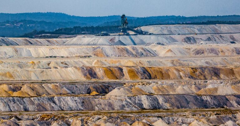
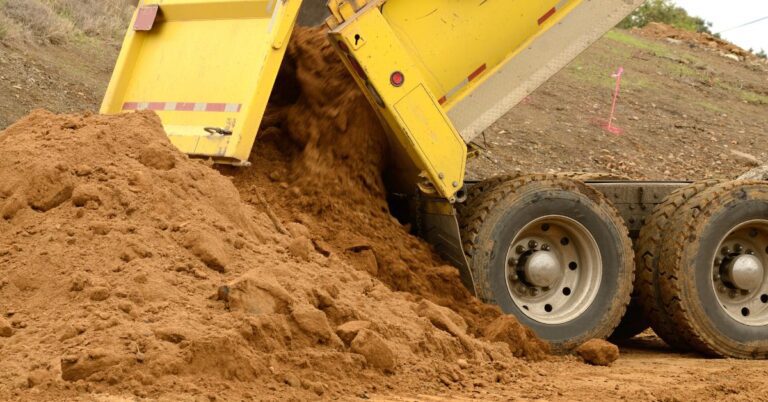
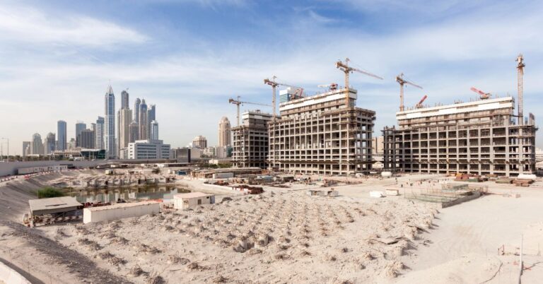
- Construction: Drone photogrammetry has a variety of applications in the construction industry. Construction applications include site planning, monitoring progress, checking stockpile volumes, and creating as-built models.
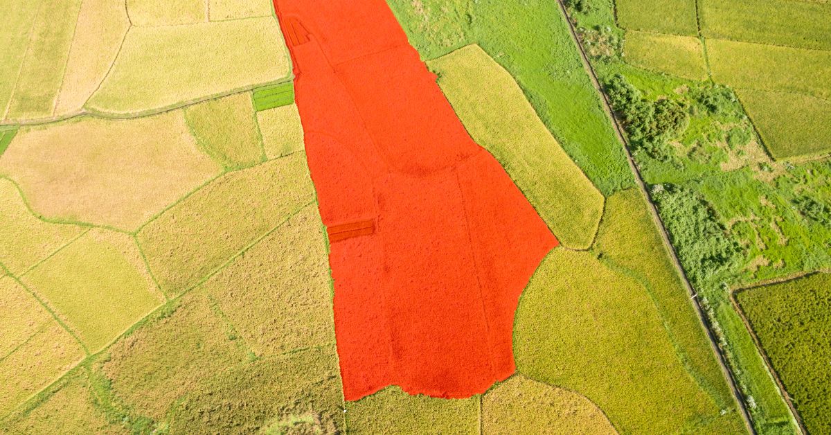
- Agriculture: Photogrammetry can help identify crop health, monitor growth patterns, and manage land.
- Real Estate: Photogrammetry has a wide range of uses in the Real Estate Industry. Real Estate applications include property models for marketing purposes and assessing property values.
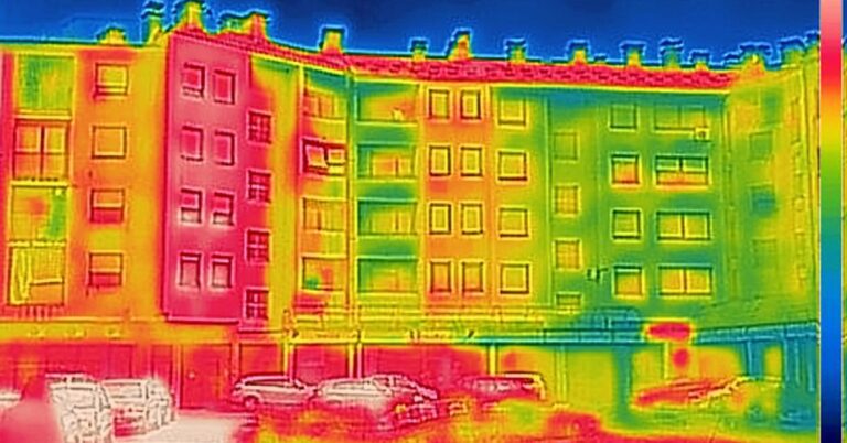
- Environmental Monitoring: Drone photogrammetry can monitor changes in landscapes over time, helping to track erosion, deforestation, and other environmental impacts.
- Disaster Management: Following a natural disaster, drones can quickly gather data for damage assessment and recovery planning.
- Archaeology: Detailed 3D models can help archaeologists document sites and find features that may not be visible from the ground.
In conclusion, drone photogrammetry is a versatile technology with a wide range of applications. It has revolutionized the way we capture and interpret geographical data. Enjoy your journey into the world of drone photogrammetry!
Drone Guides


Drone Industry Articles

Maximizing Tax Savings: Section 179 for Drone Service Providers
Understanding Section 179 for Drone Service Providers As a drone service provider, staying ahead in a competitive market often requires…
Read More
Unlocking Potential: The Imperative of Drone LiDAR for Land Surveying Companies
The field of land surveying has experienced significant transformation in recent years, courtesy of rapid technological advancements. Drone Light Detection…
Read More
16 Unique Agricultural Spray Drones Uses Revolutionizing Modern Farming
16 Unique Agricultural Spray Drone uses Revolutionizing Modern Farming In recent years, agricultural spray drones have rapidly transformed the landscape…
Read More
Innovations in Precision Agriculture: The Emergence of Drone Technology in Planting
The agricultural sector is poised for a technological revolution, with drone innovations marking a pivotal shift in farming methodologies. Specifically,…
Read More
The Role of Drones in Precision Agriculture: Elevating Farming Efficiency to New Heights
Precision agriculture marks a paradigm shift in how farming approaches, moving from traditional, broad-scale strategies to highly efficient, data-driven methodologies.…
Read More
11 Ways Drones are Revolutionizing Agriculture
The incorporation of drone technology into the agricultural sector represents a significant transformation in farming methodologies, encompassing crop cultivation, monitoring,…
Read MoreDrone Vendor Articles

Implementing Leasing Incentives into marketing for commercial UAV vendors
Leasing Sales Strategies for UAV Vendors Leasing incentives can be an effective way for commercial drone dealers to promote their…
Read More
What Marketing Channels Should Drone Dealers use to offer financing
5 Ways Drone Dealers can Market Financing Options to their customers Commercial drone dealers can offer Financing through various marketing…
Read More
How Drone Vendors can Increase Quote to sale conversions
How to Commercial Drone Vendors can increase quote to sale conversions Commercial drone dealers can increase quote to sale conversions…
Read More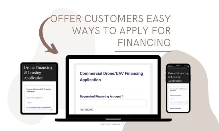
Drone Vendor Website Application
Reasons Commercial Drone (UAV) Dealers should offer financing on their website Commercial drone dealers should consider offering Financing on their…
Read More
Drone (UAV) Vendor Financing
Financing can be a powerful tool for commercial UAV dealers looking to grow their businesses and improve customer satisfaction. It…
Read MoreDrone Financing Programs
Real Estate Photography and Videography Drone Financing
Real Estate Photography & Videography Drone Financing & Leasing Real estate agencies need high-quality photos and videos to market their…
Read More
Engineering Drone Financing and Leasing
Engineering Drone Financing and Leasing Drone technology has been a game-changer for engineers. Through the use of drones, engineers can…
Read More
Roofing Drone Financing and Leasing
Roofing Drone Financing and Leasing Roof inspections can be time-consuming, challenging, and even dangerous. Fortunately, technology has offered a better…
Read More
Drone LiDAR Sensor Financing and Leasing
Drone LiDAR Sensor Financing and Leasing A Light Detection and Ranging (or LiDAR) sensor emits light energy to scan the…
Read More
Inspection Drone Financing and Leasing
Inspection Drone Financing and Leasing There are a number of industries that require regular visual inspections as part of their…
Read More
Startup Business Commercial Drone Financing & Leasing
Startup Business Commercial Drone Financing and Leasing Start a Drone Service Business Today with Financing and Leasing options for your…
Read More