
Beginner's Guide to Drone LiDAR
Welcome to the exciting world of Drone LiDAR! In this guide, we will go through the basics of Drone LiDAR technology, how it works, why it's important, and several applications that utilize this innovative tool.
Table of Contents
What is Drone LiDAR?
LiDAR, which stands for "Light Detection and Ranging," is a technique for remote sensing that uses light in the form of a pulsed laser to calculate varying distances to the Earth. By combining these light pulses with other data gathered by an airborne system, it generates detailed three-dimensional data about the Earth's topography and surface features.
When mounted on drones, this technology enables the acquisition of highly accurate and detailed geographical data from above, thereby revolutionizing various industries that require detailed terrain mapping and analysis.
How does Drone LiDAR work?
Drone LiDAR systems work by emitting a pulsed laser light toward the ground. As the light pulses hit the ground and objects on the ground, they are reflected back to the sensor on the drone. The system can calculate the distance it traveled by measuring the time it takes for each pulse to return to the sensor. When you repeat this process hundreds of thousands of times per second, you can generate a very detailed 'point cloud' that represents the shape and surface characteristics of the ground and objects on it.
The point clouds are then processed using specialized software to create a 3D terrain model. With additional onboard sensors like GPS and an Inertial Measurement Unit (IMU), these 3D models can be georeferenced, so the data points can be associated with precise locations on the Earth's surface.
Revolutionizing the Drone Industry with Lidar Technology: An Expert's Perspective
Why is Drone LiDAR Important?
Drone LiDAR technology is incredibly important for several reasons:
- High Precision: Drone LiDAR can produce very accurate data, often with a precision of a few centimeters. Allowing a level of accuracythat is critical for many applications, such as engineering, surveying, and environmental science.
- Efficiency: Drones can cover large areas more quickly than traditional ground-based survey methods, enabling data collection in areas that may be dangerous or difficult to access on foot.
- Detailed 3D Models: By providing a means to generate detailed 3D models, LiDAR gives users a more complete understanding of the terrain. 3D models include features that may not be visible at ground level or through traditional aerial imagery.
- Penetrates Vegetation: Unlike other remote sensing methods, LiDAR is capable of penetrating vegetation due to the use of laser pulses. This allows for creating terrain models in forested areas that are impossible with other technologies.
Examples of Drone LiDAR Applications
- Forestry: In forestry, drone LiDAR can help in a variety of ways. From estimating biomass and timber volume, analyze forest canopy, and aid in forest management and conservation efforts.
- Archaeology: LiDAR can help archaeologists detect subtle features on the landscape that could signify lost or hidden archaeological sites.
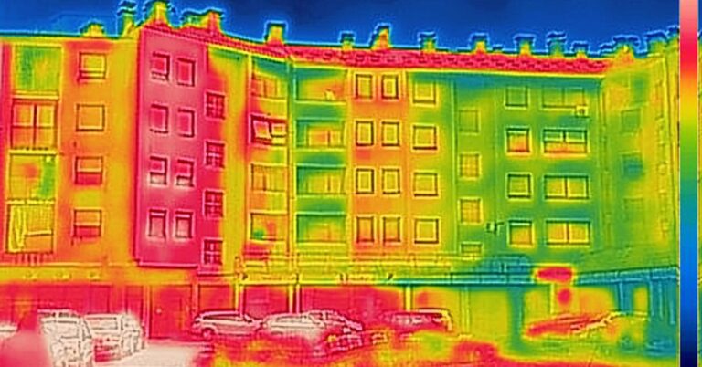
- Infrastructure Inspection: Drone LiDAR can assist in inspecting infrastructure, like bridges, power lines, and buildings. Providing 3D models that engineers can use to identify potential issues.
- Flood Modeling: Accurate topographic data from LiDAR can help create flood models and help communities plan for flood events.
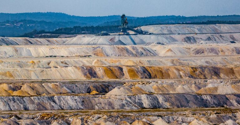
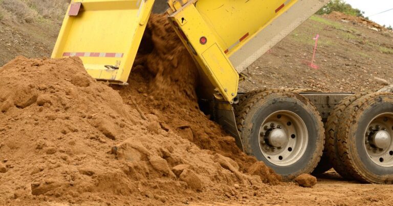
- Mining: In the mining industry, drone LiDAR is used in many different ways. Miners use lidar for calculating volumes of stockpiles, monitoring environmental changes, and planning future mining operations.
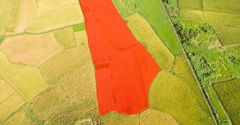
- Agriculture: In agriculture, LiDAR can help identify subtle changes in topography, monitor crop health, and assist in precision agriculture.
- Urban Planning: City planners can use detailed 3D models generated by LiDAR in their planning and development efforts. This helps urban planners make informed decisions about infrastructure placement and land use.
Drone LiDAR, a powerful technology increasingly integrated across numerous industries. Understanding how this technology works and its potential applications can help you leverage its capabilities in your field of interest. Happy mapping!
Drone Guides

Drone Industry Articles

Maximizing Tax Savings: Section 179 for Drone Service Providers
Understanding Section 179 for Drone Service Providers As a drone service provider, staying ahead in a competitive market often requires…
Read More
Unlocking Potential: The Imperative of Drone LiDAR for Land Surveying Companies
The field of land surveying has experienced significant transformation in recent years, courtesy of rapid technological advancements. Drone Light Detection…
Read More
16 Unique Agricultural Spray Drones Uses Revolutionizing Modern Farming
16 Unique Agricultural Spray Drone uses Revolutionizing Modern Farming In recent years, agricultural spray drones have rapidly transformed the landscape…
Read More
Innovations in Precision Agriculture: The Emergence of Drone Technology in Planting
The agricultural sector is poised for a technological revolution, with drone innovations marking a pivotal shift in farming methodologies. Specifically,…
Read More
The Role of Drones in Precision Agriculture: Elevating Farming Efficiency to New Heights
Precision agriculture marks a paradigm shift in how farming approaches, moving from traditional, broad-scale strategies to highly efficient, data-driven methodologies.…
Read More
11 Ways Drones are Revolutionizing Agriculture
The incorporation of drone technology into the agricultural sector represents a significant transformation in farming methodologies, encompassing crop cultivation, monitoring,…
Read MoreDrone Vendor Articles
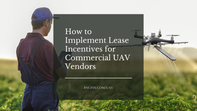
Implementing Leasing Incentives into marketing for commercial UAV vendors
Leasing Sales Strategies for UAV Vendors Leasing incentives can be an effective way for commercial drone dealers to promote their…
Read More
What Marketing Channels Should Drone Dealers use to offer financing
5 Ways Drone Dealers can Market Financing Options to their customers Commercial drone dealers can offer Financing through various marketing…
Read More
How Drone Vendors can Increase Quote to sale conversions
How to Commercial Drone Vendors can increase quote to sale conversions Commercial drone dealers can increase quote to sale conversions…
Read More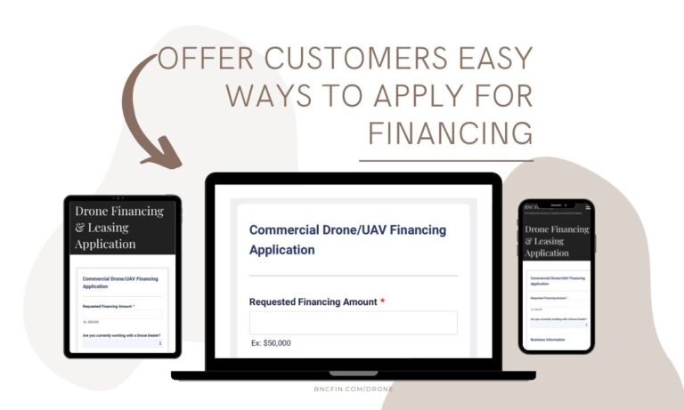
Drone Vendor Website Application
Reasons Commercial Drone (UAV) Dealers should offer financing on their website Commercial drone dealers should consider offering Financing on their…
Read More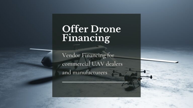
Drone (UAV) Vendor Financing
Financing can be a powerful tool for commercial UAV dealers looking to grow their businesses and improve customer satisfaction. It…
Read MoreDrone Financing Programs
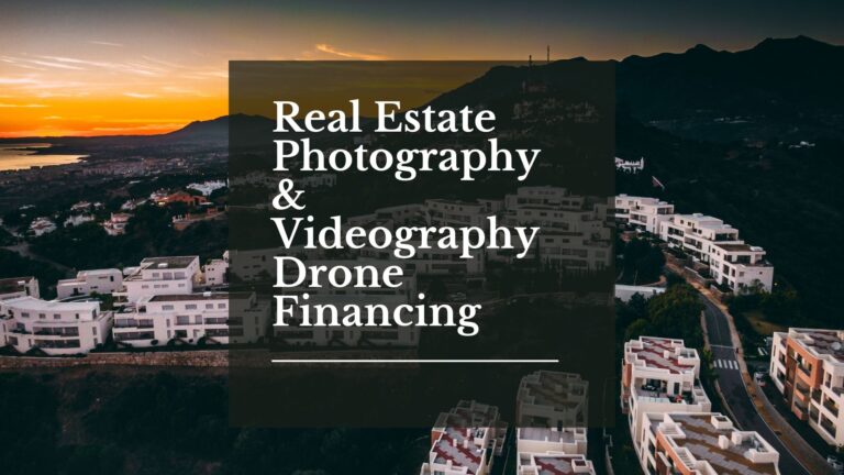
Real Estate Photography and Videography Drone Financing
Real Estate Photography & Videography Drone Financing & Leasing Real estate agencies need high-quality photos and videos to market their…
Read More
Engineering Drone Financing and Leasing
Engineering Drone Financing and Leasing Drone technology has been a game-changer for engineers. Through the use of drones, engineers can…
Read More
Roofing Drone Financing and Leasing
Roofing Drone Financing and Leasing Roof inspections can be time-consuming, challenging, and even dangerous. Fortunately, technology has offered a better…
Read More
Drone LiDAR Sensor Financing and Leasing
Drone LiDAR Sensor Financing and Leasing A Light Detection and Ranging (or LiDAR) sensor emits light energy to scan the…
Read More
Inspection Drone Financing and Leasing
Inspection Drone Financing and Leasing There are a number of industries that require regular visual inspections as part of their…
Read More
Startup Business Commercial Drone Financing & Leasing
Startup Business Commercial Drone Financing and Leasing Start a Drone Service Business Today with Financing and Leasing options for your…
Read More