Beginner's Guide to Volumetric Measurements with Drones
Welcome to the comprehensive beginner's guide to Volumetric Measurements with Drones! This guide will teach you to the basics of this transformative technology, explaining its operations, use cases, and popular software providers.
Table of Contents
What are Volumetric Measurements with Drones?
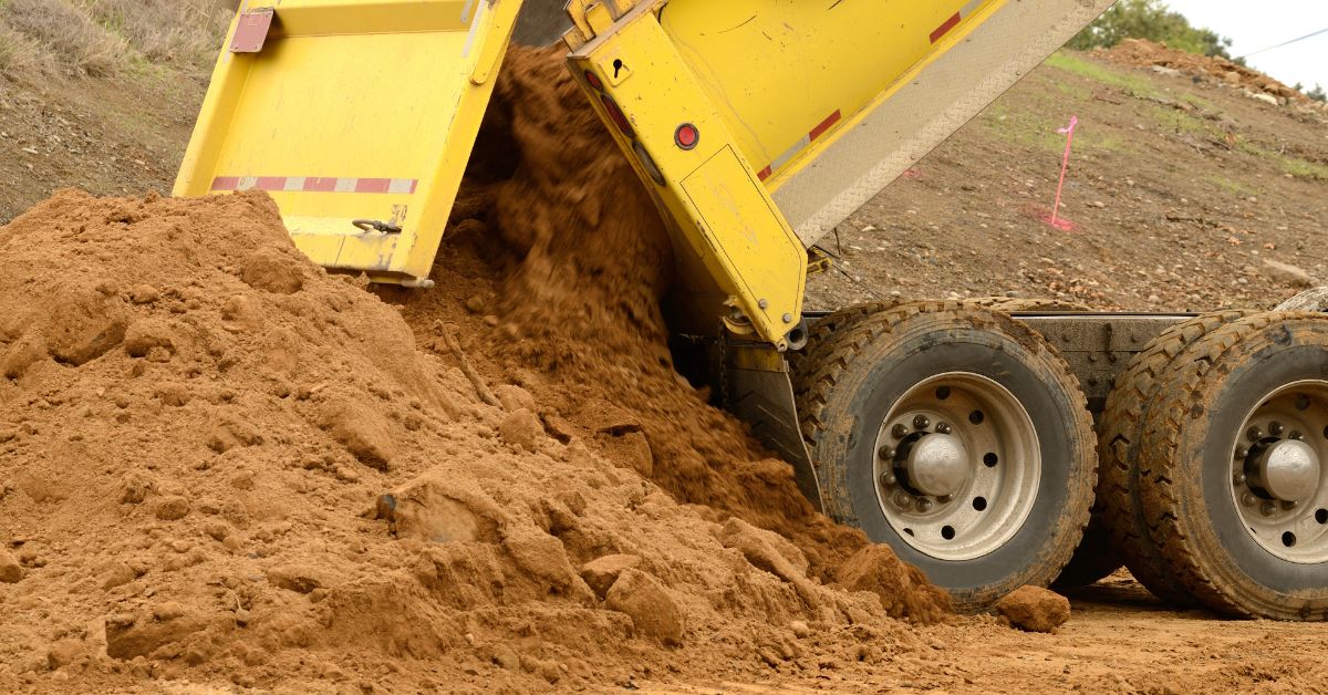
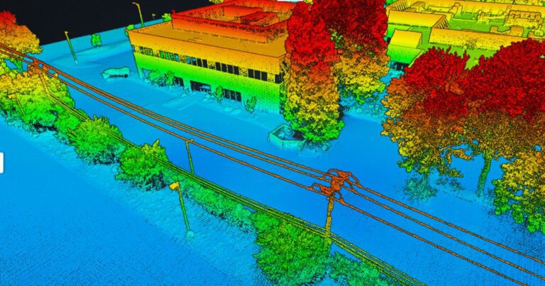
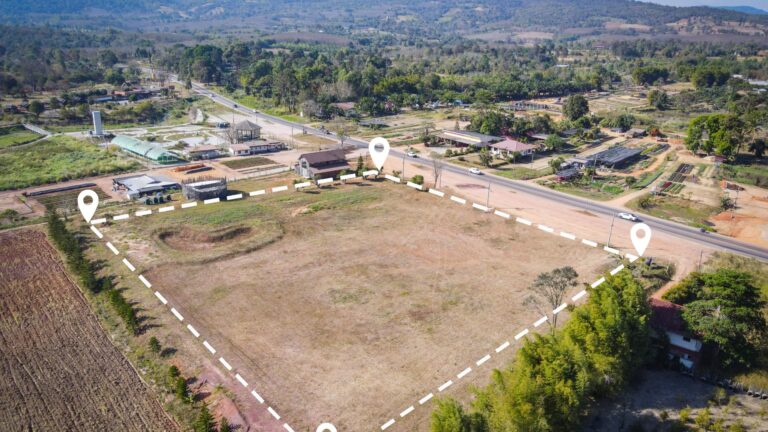
Volumetric measurements use drone technology to calculate the volume of physical features such as stockpiles, cut and fills, quarries, or other structures. Drones with high-resolution cameras or LiDAR sensors capture detailed aerial data, which are then processed to create 3D models. These models can be used to calculate the volume of the objects or terrain features they represent with a high degree of accuracy.
How does it work?
- Data Capture: The process begins by deploying a drone equipped with a high-resolution camera or LiDAR sensor to capture overlapping images or point cloud data of the area of interest.
- Data Processing: The collected data are imported into photogrammetry or LiDAR processing software. The software uses the overlap between the images to create a 3D model of the area.
- Volume Calculation: Once the 3D model is generated, volumetric measurements can be performed directly in the software by defining the base and boundaries of the feature whose volume will be calculated. The software then calculates the volume by considering the vertical distance from the base to each point in the area of interest.
Why is it Important?
- Accuracy: Drones can capture highly detailed data and calculate volumes accurately. This level of precision is critical in industries such as construction, mining, and waste management, where accurate volume calculations can significantly impact operational efficiency and cost management.
- Efficiency: Traditional methods of volume measurement can be time consuming and labor-intensive. Drones can capture data for large areas quickly and efficiently, making the process much more manageable and less prone to human error.
- Safety: Drones can operate in hazardous or hard to reach areas, keeping workers safe by reducing their exposure to potentially dangerous situations.
Use Cases and Examples
- Mining and Aggregates: Companies can use drones to quickly and accurately calculate stockpile volumes. These calculations are then used for inventory management, operational planning, and financial reporting.
- Construction: On construction sites, drones can measure cut and fill volumes. Helping project managers track progress, estimate costs, and plan logistics.
- Waste Management: Waste management facilities can use drone volume measurements to monitor the volume of waste in landfills. Allowing them to improve capacity planning and regulatory compliance.
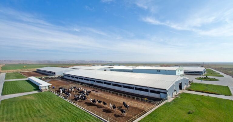
- Agriculture: Farmers can use drones to measure the volume of feed piles, assisting in inventory management and operational planning.
Software Providers
Several software providers specialize in drone data processing for volumetric measurements:
- Pix4D: Pix4D offers a suite of products for photogrammetric drone data processing, making them particularly well suited for volumetric measurements.
- Agisoft Metashape: Agisoft Metashape is a photogrammetry software that can process aerial images into 3D models for volumetric calculations.
- DroneDeploy: DroneDeploy, a cloud-based drone mapping software that provides easy to use tools for volumetric calculations.
- Propeller Aero: Propeller Aero offers a cloud-based drone data management and analytics platform with robust tools for volumetric measurements.
In conclusion, volumetric measurements with drones represent a significant advancement over traditional methods. The technology provides a safer, more efficient, and highly accurate means of calculating volumes with wide ranging applications across many industries. This technology can help you harness its potential and apply it to your specific needs. Happy flying!
Drone Guides
Drone Industry Articles
Revolutionizing Maintenance: The Future of Power Washing Drones
Revolutionizing Maintenance: The Future of Power Washing Drones. with Robert Dahlstrom, CEO of Apellix Drones In an engaging interview, Robert…
Read MoreHarnessing the Power of Drone LiDAR for Land Surveying
Harnessing the Power of Drone LiDAR for Land Surveying: Insights with Harrison Knoll with Harrison Knoll, CEO of Rock Robotic…
Read MoreNavigating FAA Changes: A Chat with Bryan Sanders on Agricultural Spray Drones Regulations
Part 137 Changes Impacting Agricultural Spray Drones with Bryan Sanders, President of (HSE) UAV, In an industry impacted by dynamic…
Read MoreThe Benefits of Using Drones in Livestock Management
Transforming Agriculture: The Benefits of Using Drones in Livestock Management Technology integration into agriculture has given rise to new methods…
Read MoreHarnessing Customer-Driven Innovation: A Comprehensive Guide for Commercial Drone Dealers
Harnessing Customer-Driven Innovation: A Comprehensive Guide for Commercial Drone Dealers Innovation has always been the driving force behind successful businesses.…
Read MoreDrone Vendor Articles
Implementing Leasing Incentives into marketing for commercial UAV vendors
Leasing Sales Strategies for UAV Vendors Leasing incentives can be an effective way for commercial drone dealers to promote their…
Read MoreWhat Marketing Channels Should Drone Dealers use to offer financing
5 Ways Drone Dealers can Market Financing Options to their customers Commercial drone dealers can offer Financing through various marketing…
Read MoreHow Drone Vendors can Increase Quote to sale conversions
How to Commercial Drone Vendors can increase quote to sale conversions Commercial drone dealers can increase quote to sale conversions…
Read MoreDrone Vendor Website Application
Reasons Commercial Drone (UAV) Dealers should offer financing on their website Commercial drone dealers should consider offering Financing on their…
Read MoreDrone (UAV) Vendor Financing
Financing can be a powerful tool for commercial UAV dealers looking to grow their businesses and improve customer satisfaction. It…
Read MoreDrone Financing Programs
Real Estate Photography and Videography Drone Financing
Real Estate Photography & Videography Drone Financing & Leasing Real estate agencies need high-quality photos and videos to market their…
Read MoreEngineering Drone Financing and Leasing
Engineering Drone Financing and Leasing Drone technology has been a game-changer for engineers. Through the use of drones, engineers can…
Read MoreRoofing Drone Financing and Leasing
Roofing Drone Financing and Leasing Roof inspections can be time-consuming, challenging, and even dangerous. Fortunately, technology has offered a better…
Read MoreDrone LiDAR Sensor Financing and Leasing
Drone LiDAR Sensor Financing and Leasing A Light Detection and Ranging (or LiDAR) sensor emits light energy to scan the…
Read MoreInspection Drone Financing and Leasing
Inspection Drone Financing and Leasing There are a number of industries that require regular visual inspections as part of their…
Read MoreStartup Business Commercial Drone Financing & Leasing
Startup Business Commercial Drone Financing and Leasing Start a Drone Service Business Today with Financing and Leasing options for your…
Read More